01
Challenge
Grades reported by the mine were not matching what the flotation plant received, and the team needed to know whether the models were the cause.
02
Problem
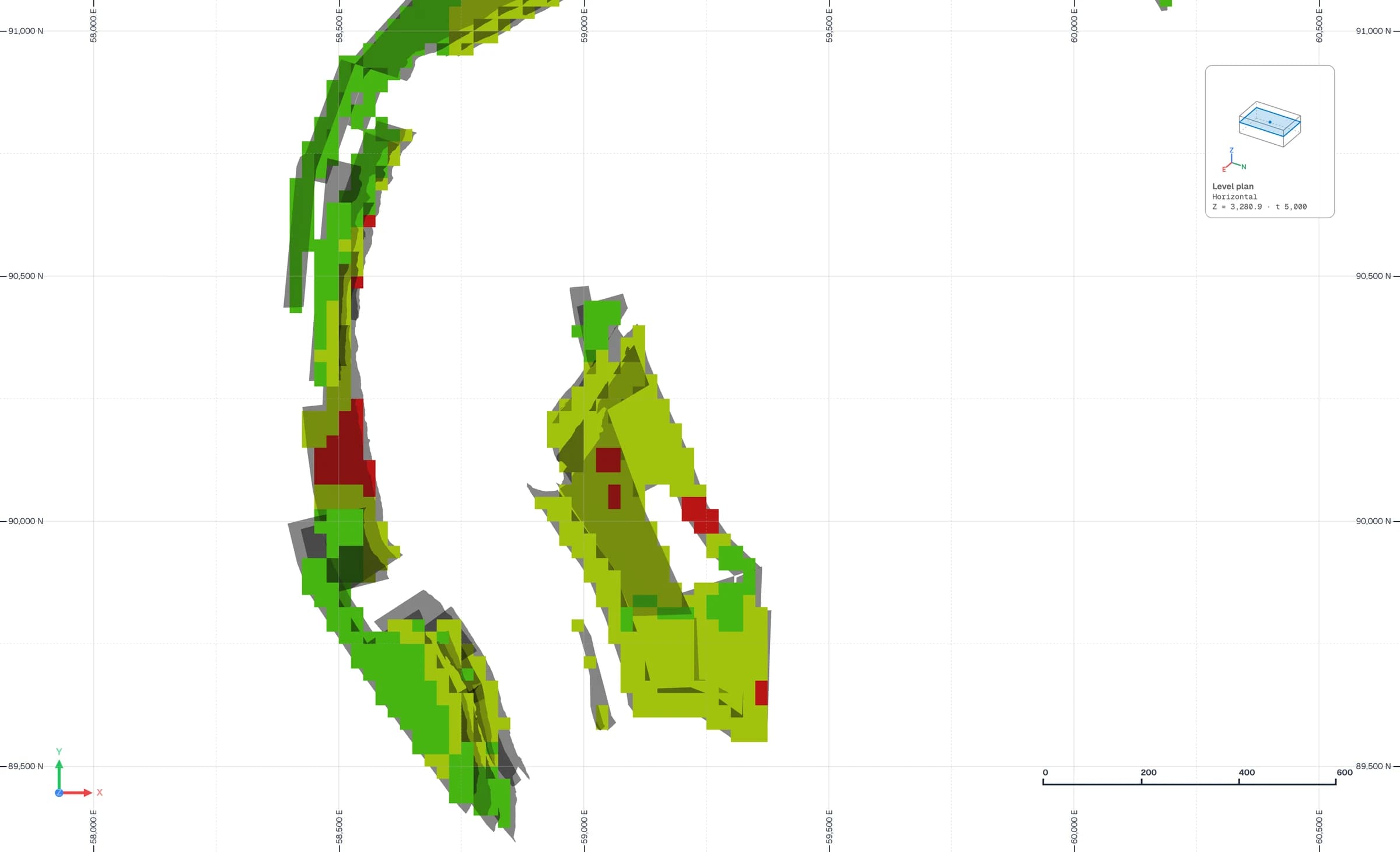
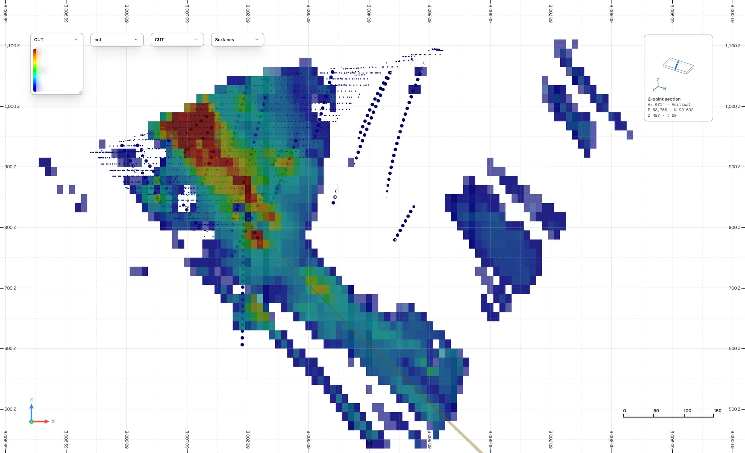
Several modeling decisions were working against the mine. A major fault had been treated as a hard boundary everywhere, which biased grades on both sides of it. The indicator thresholds were fixed rather than derived from the data, capping left high grades spreading into low-grade blocks, and a systematic bias separated drillhole from blasthole data. Each was plausible on its own; together they produced a gap that no single fix would close.
03
Solution
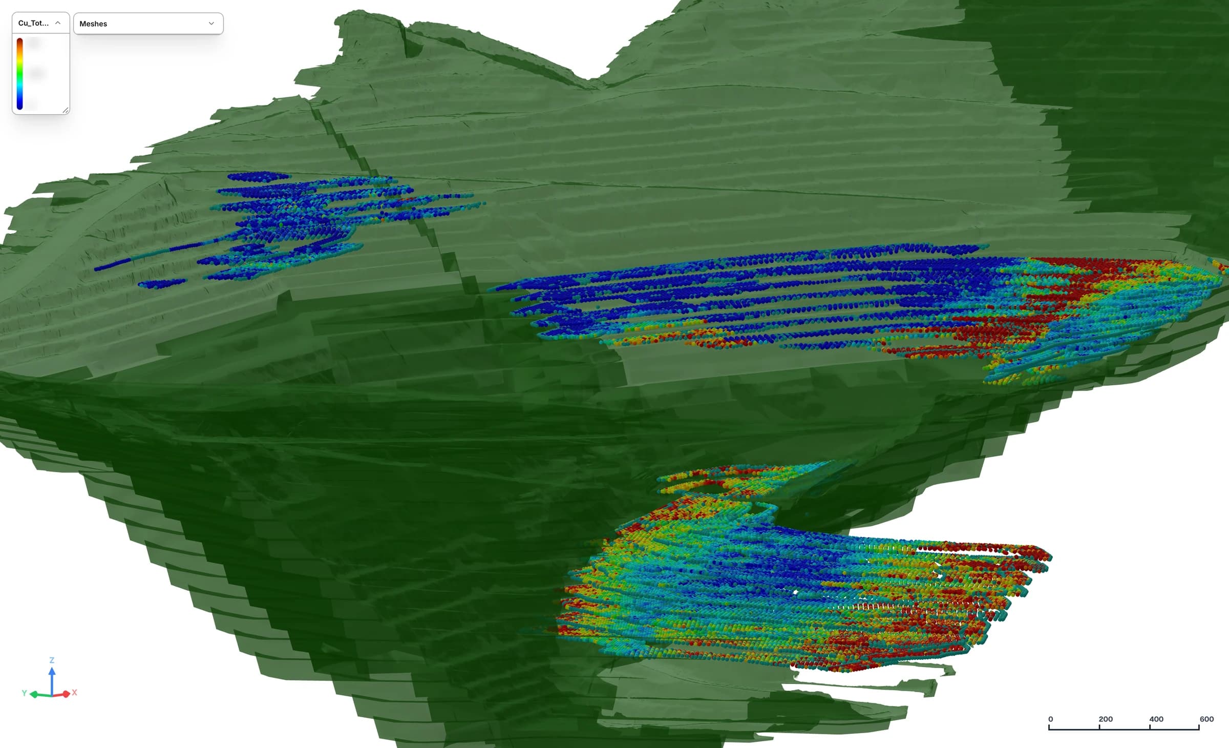
We reviewed the geology, compositing, capping, variography, density and classification on site, and compared the grade-control polygons with the long- and short-term models. The models were then recalibrated against a blasthole reconciliation model, using soft boundaries, indicator thresholds taken from the data, capping by estimation unit and locally varying anisotropy.
04
Deliverables
The deliverable is a technical review report with prioritized recommendations. The natural follow-on is a set of validated parameters for the next long-term model, together with simulation-based risk maps to target infill drilling where uncertainty matters most.